

The Models are Fighting Again
Whether the GFS/Candian or Euro wins will have big impacts on weather this week.

Phew. I thought about breaking my promise and waiting a day before sending this email because that is how different models are evolving in the upper pattern through the end of this week.
No, it really is that bad.
But let’s do our best to lay it out.
What We Know: Early Week
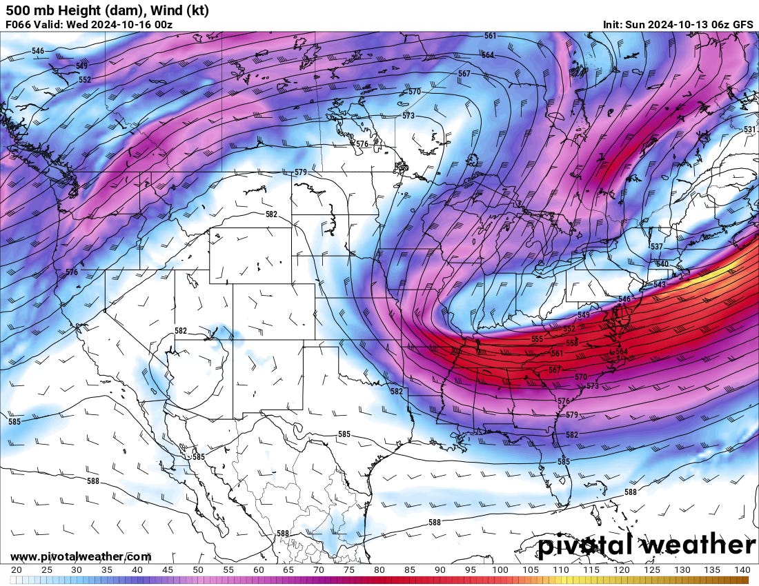
To start the week off, we’ll have a big trough over the eastern U.S. with cooler temperatures and a couple of cold fronts that will drag south and finally bring much of the country out of summer and into fall.
But…What Then?
Now, here is where the forecast gets tricky.
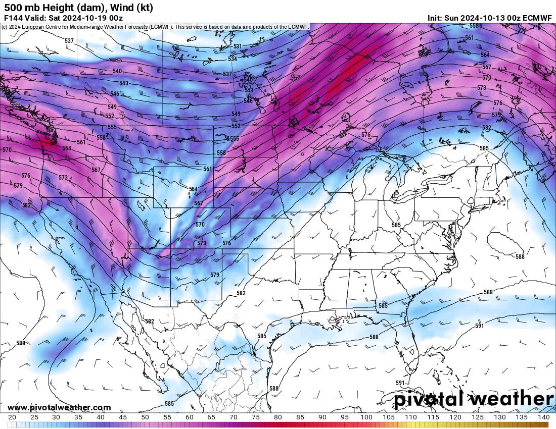
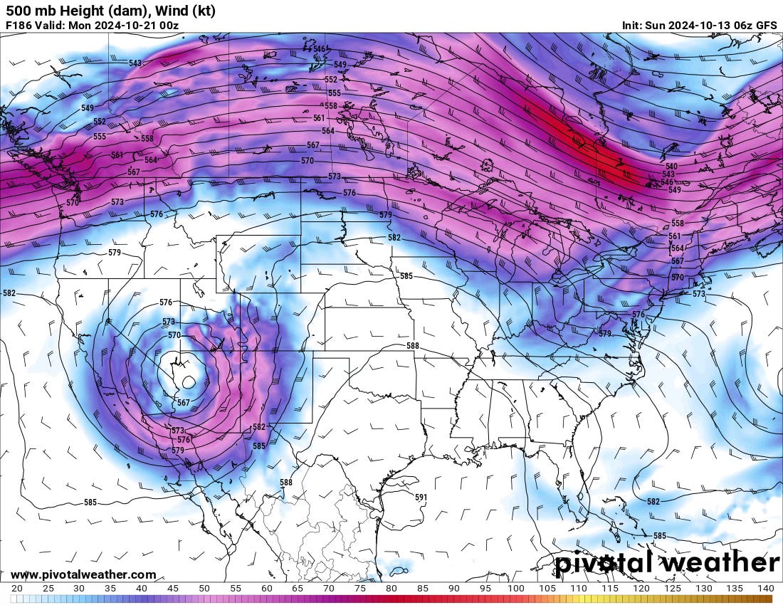
All models agree the pattern will undergo a rapid and substantial change, with a western U.S. trough finally taking shape. But what models do is entirely different.
GFS/Canadian: These two cut the trough off from the upper flow and bring a cut-off low to the SW U.S. that just kind of meanders around.
European: This model keeps the trough as an open wave that progresses across the country.
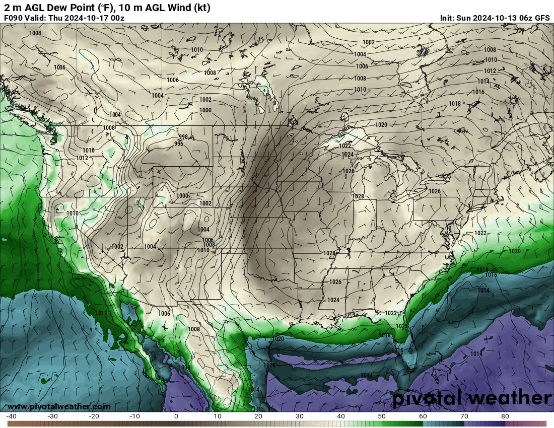
The practical impacts of this are huge. If the GFS/Canadian verify, there will be multiple days of showers and thunderstorms across the Four Corners region into the far western Plains. There will be enough wind shear that I could see a few severe weather risks as well.
The Euro is much faster, and thus, there isn’t as much moisture drawn up. This would limit the amount of rain/storms that could form, leaving dry air in its wake. I’m not sure there’s much chance of storm chasing with that solution.
So, What Happens?
In these situations that involve dramatic pattern changes, it is incredibly hard to predict which version of events happens. My heart wants the cut-off low to occur because of STORM CHASING and also, rain. We need it badly.
Ensembles are of no help, as they match their operational counterparts.
In this case, I think a blend is probably best for now. I think the low cuts off but isn’t as slow to move east as the GFS has it. But I do think a few days of storminess are on tap for next weekend, and some storm chasing will be possible — especially on the Western High Plains. Instability will be the biggest limiting factor I think on any given day (from experience with these lows).
Afterwards
Strangely, all models do agree (including ensembles) that the pattern in the Western U.S. will not flip back to a ridge but rather flattens out with periodic troughing through the rest of the month. Once again, this matches our expectations for October as well.
Photo of the Week
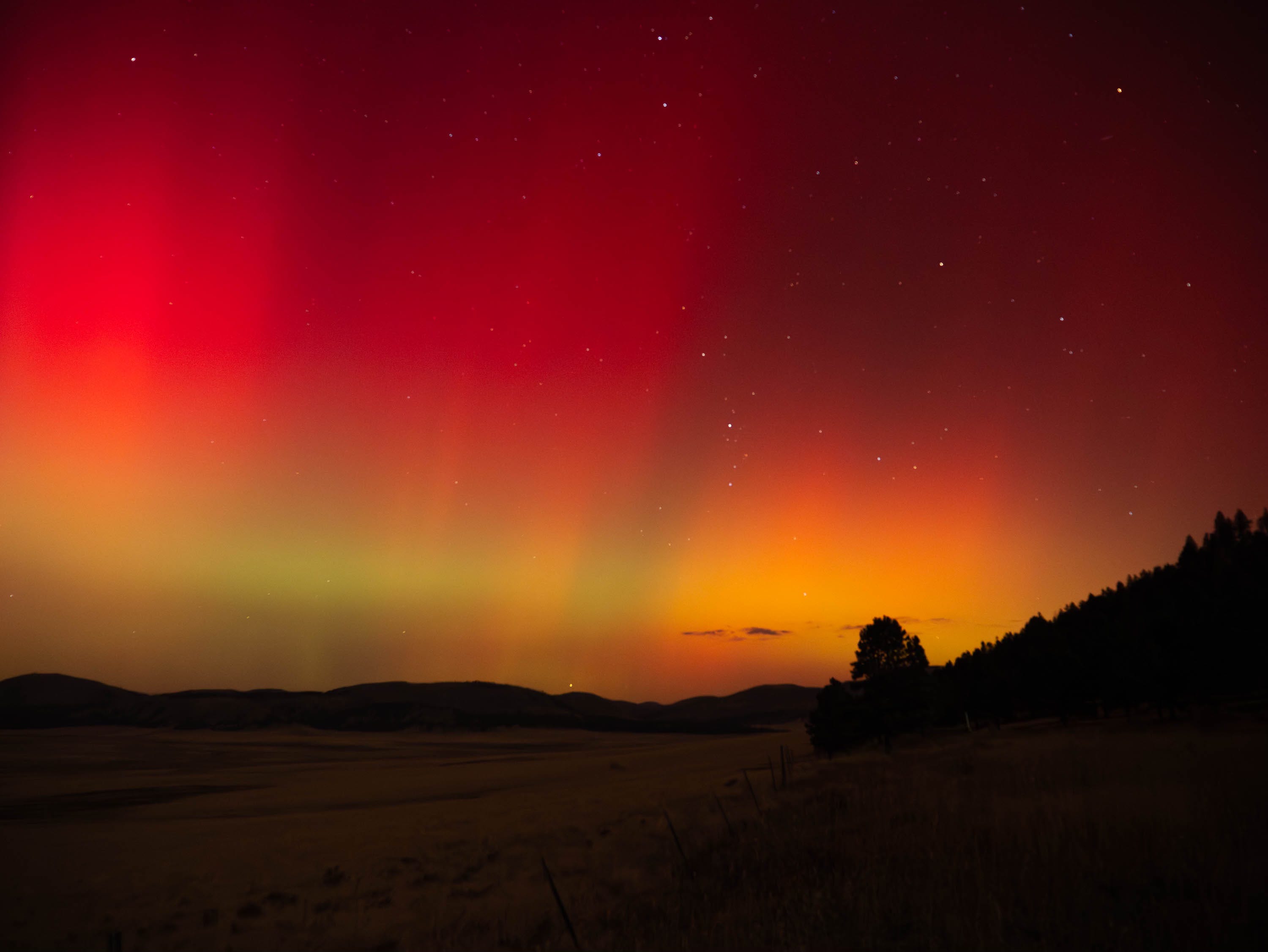
A historic solar storm earlier this week produced Northern Lights Displays that were visible across the entire country. There was even a report of Northern Lights visible on cameras as far south as the northern South American coast!
Send your weather photos to us for a chance to be featured in this space: admin@tornadotitans.com