

What the Pattern Does The Rest of February…
That was ‘exciting’, what does the rest of the month have in store for us?

It was a busy 24 hours over the Southern U.S. with a well-developed QLCS system that brought dozens of tornado warnings to the southern U.S.
Surely this active day is a sign of a major uptick in severe weather, right?
Right?
1. Lots of Atmospheric Waves, No Moisture
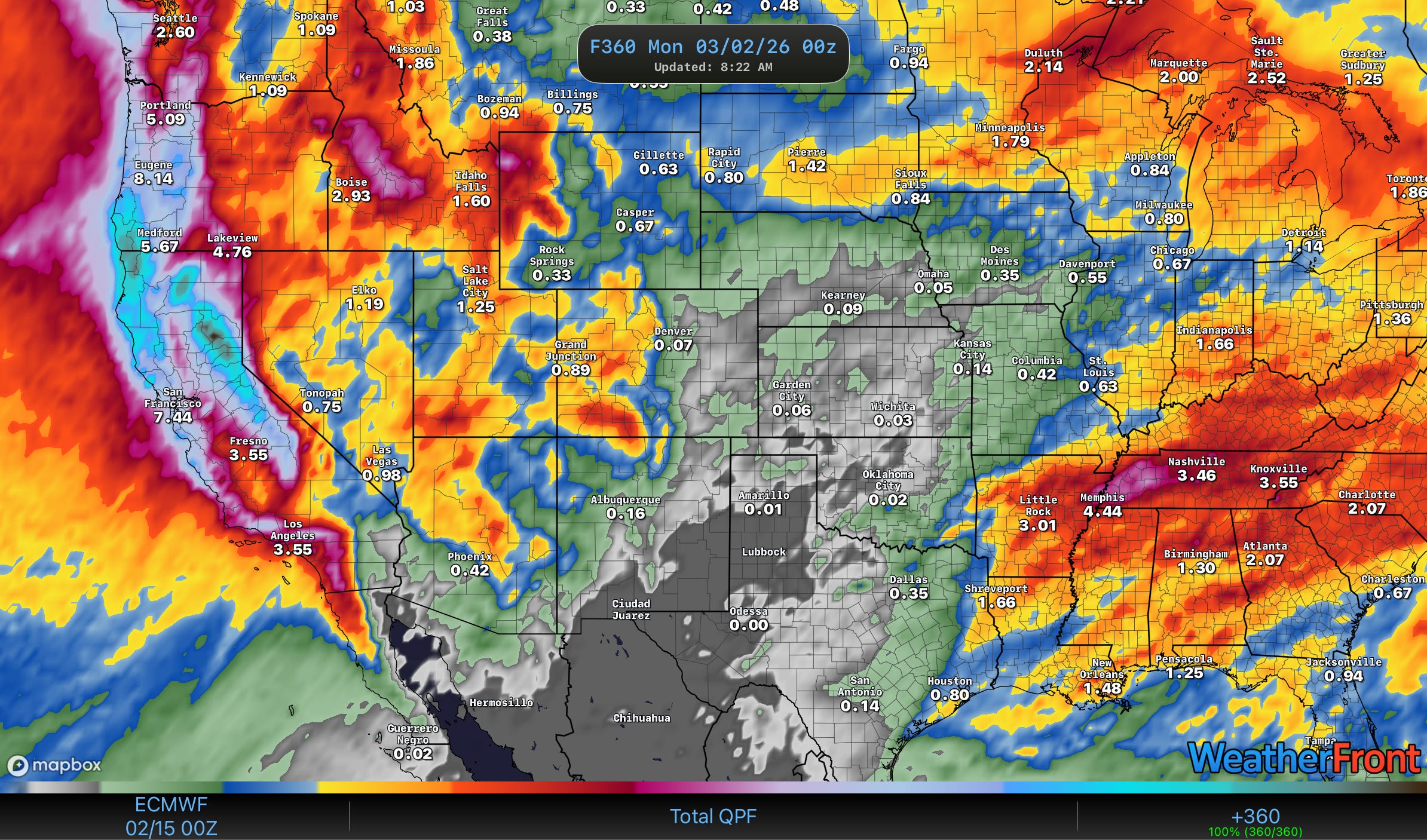
One of the reasons why I’m not a big believer in just looking at the upper air charts and being able to tell what’s going on sensibly (I’ve heard more than one person teach them this way) is because of the next two weeks. A quick glance at the 500mb chart would have you believing major weather is happening a couple of times a week — but these fast moving systems across the U.S. are going to be tapping into a very dry airmass, which will lead to almost no precipitation.
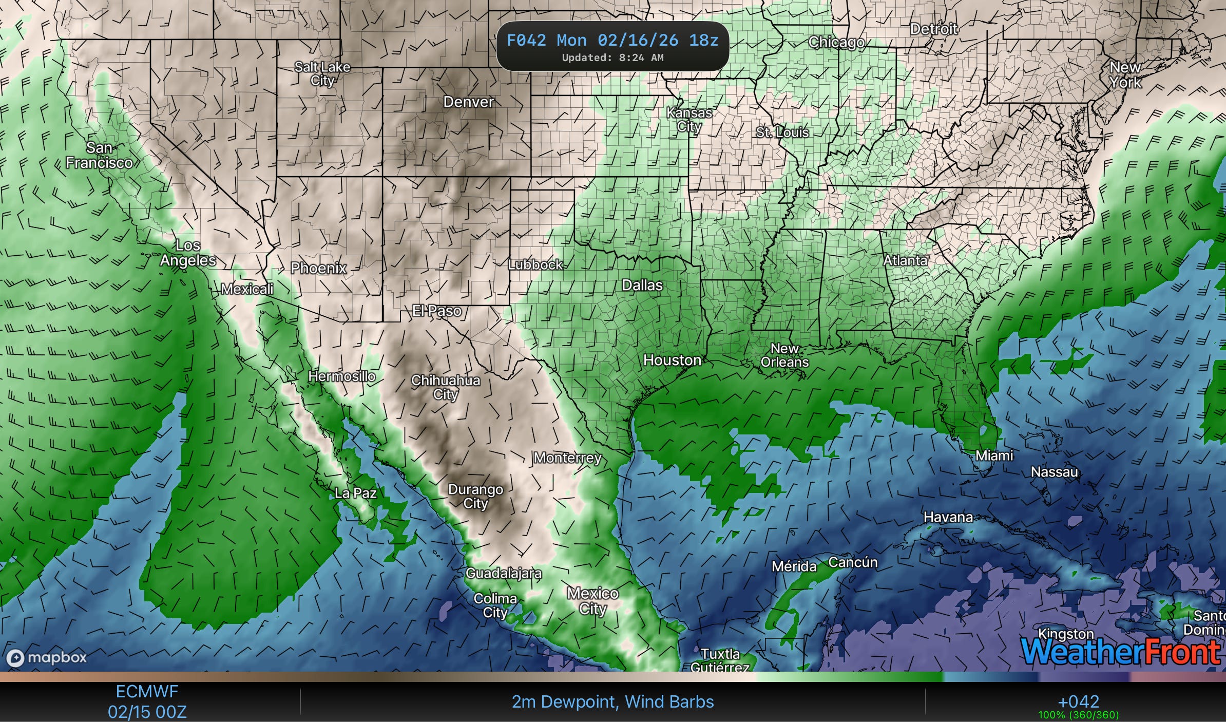
The current front pushing south will go all the way through the Gulf of Mexico and into the Caribbean. You can see the atmosphere in this image is already trying to funnel moisture northwards ahead of another wave by Monday — but there’s nothing to tap in to.
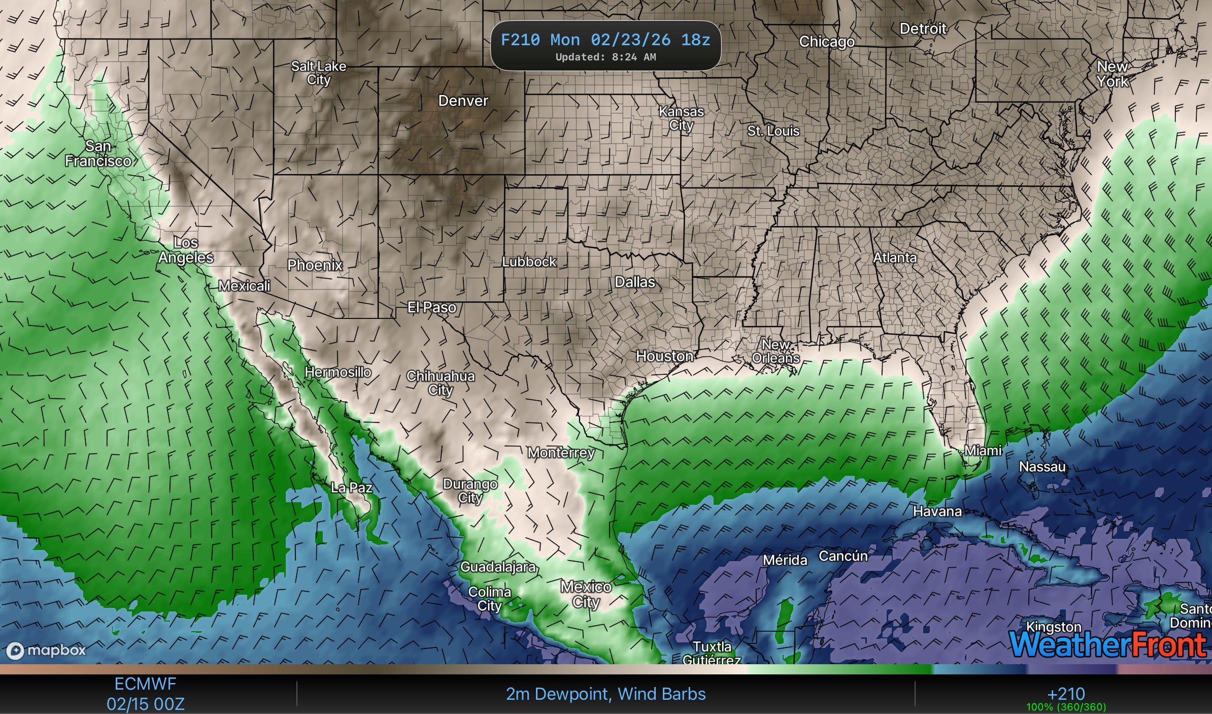
Models are pretty suggestive that early next week we’ll see yet another very strong front push through. This one pushes moisture about as far south as is possible this time of year.
Sensibly that type of pattern results in this. A wetter west thanks to pacific moisture plumes (ski resorts may finally get real snow out there!), and dry Plains, and a wetter eastern U.S. It’s not impossible we’ll see a few severe weather risks out of this pattern in the South — but the intense moisture buildup that precedes big winter severe weather outbreak days doesn’t seem to be in the offing just yet.
But it probably won’t be long until we see some big risks start up.
2. You’d Better Watch This Video
If you are curious about one of the features that’ll almost certainly drive our severe weather this spring, then you can do no wrong here:
3. Support Our Free Education, Become a Channel Member
If you’ve ever watched a massive supercell roll across the Plains and felt your heart race, you already know why we do this — but as a member, you get to go deeper.
You’ll get early access to our cinema-grade 4K storm footage dropped within minutes of the event, behind-the-scenes looks at how we forecast and position for intercepts, and real conversations about the science and strategy behind every chase. We built Tornado Titans on one idea: Weather is for Everyone — and membership is how we keep it that way, funding the kind of in-depth, honest content that algorithms don’t reward but our community actually wants.
You’re not just subscribing to a channel; you’re joining a crew of people who believe severe weather deserves to be understood, not just sensationalized.