

This Ridge Over the Southwest May Be Amongst the Strongest on Record
I think this is for the “it’s summer” crowd.

Record-breaking weather is fascinating, no matter the form it takes, because it means something very unique has happened in the atmosphere to allow for a new extreme to take shape. The ridge currently over the SW US is amongst the strongest on record.
But where is the ridge going, and when can we get back to monsoon chasing? That’s the question I’ll hope to answer in this newsletter.
But That Ridge
I have been seeing something on the GFS that doesn’t pop up often, a 600 DAM high center. Look at the area in NM:
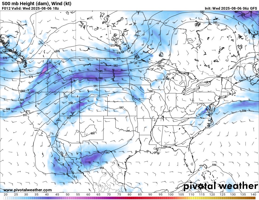
Why is this significant? When the pressure is this high in the atmosphere, the ongoing heating underneath will be pretty strong (and has been).
High pressure tends to limit storm activity, especially over the southwest. When it is positioned where it is, moisture is shunted away from the region and the air dries out, and because of this, the temperature will tend to rise higher.
That high pressure is significant as well because it puts downward pressure on the atmosphere, which limits the ability of storms to grow high. During the Spring, we always look for ‘the ridge’ to shut down the season — even if it never actually comes. I can remember several Springs where a ridge parked over the Plains in April/May and shut down vast swaths of the season. This is the same type of thing, but for the monsoon.
When will the ridge move out?
When a ridge breaks down, it requires a significant change in the atmosphere. Sometimes, it takes a seasonal change to get things going — but the big thing to remember is that the ridge will likely wobble around with the jet stream pushing on it from different sides while weakening. A ridge this strong is impressive, but it’s not something the atmosphere is able to sustain indefinitely.
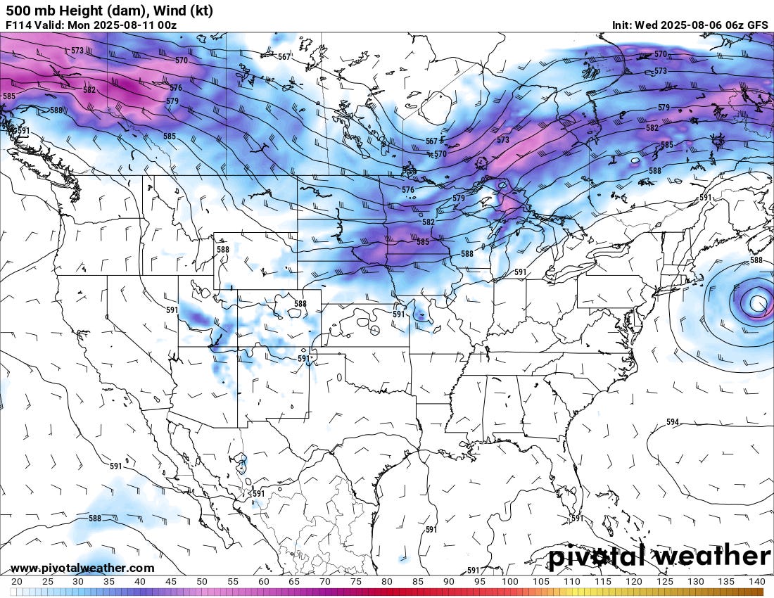
For the monsoon, we’re waiting for this ridge either to weaken or to displace itself outside of the region. When that happens, the moisture will flow back north, and vigorous monsoon activity will begin again.
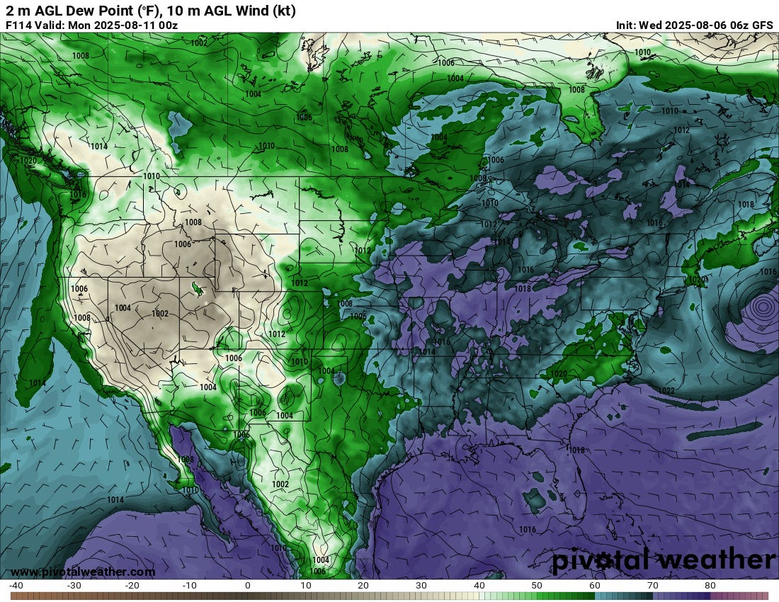
We’ll likely see storms begin near the higher terrain again by this weekend. However, moisture will still be pretty limited for a robust monsoon pattern with ridging still sitting around the region, keeping the best moisture from really coming into play.
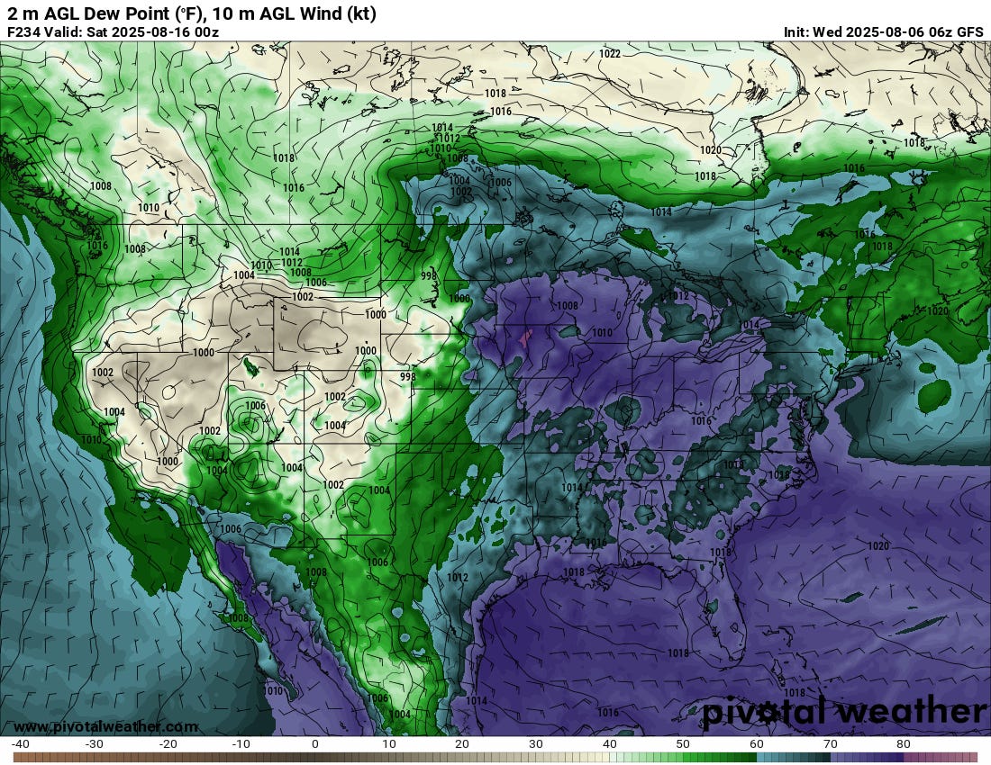
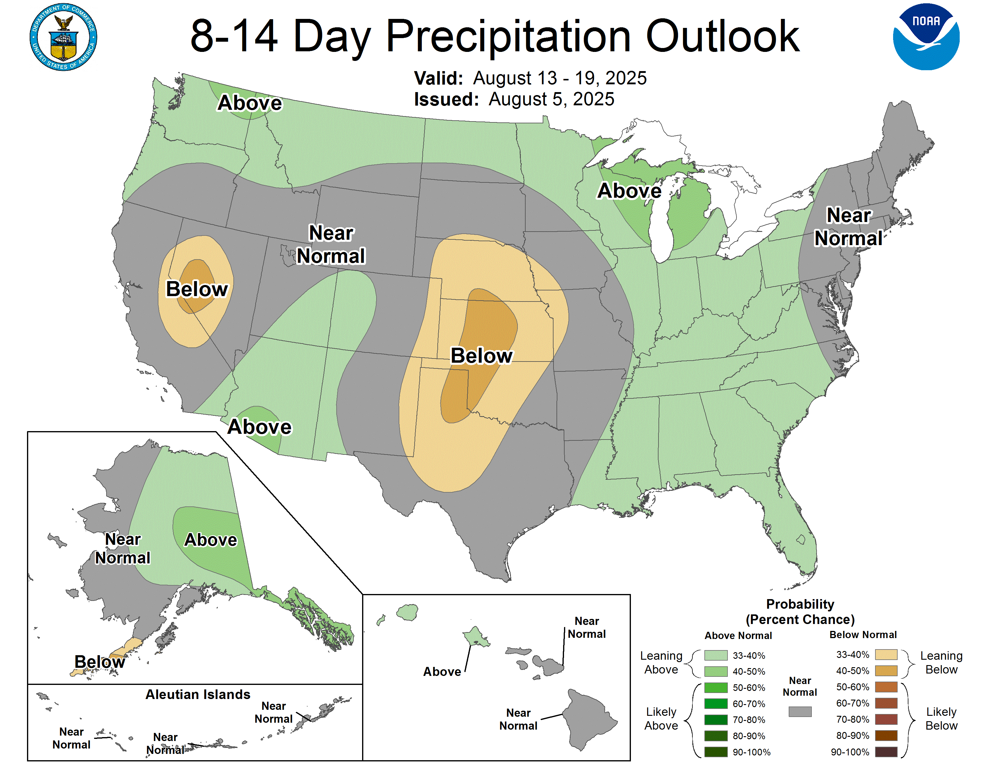
Most likely, we’ll see moisture trend up slowly through mid-month, with the last part of August being the most active period for the monsoon over the Southwest this year. For the western parts of the region, the monsoon has been a giant nonsoon so far, while we lucky ducks in the eastern half have seen multiple surges of storm activity already.
This means the monsoon is likely backloaded this year, as the CPC has already hinted at.
Our Monsoon Chase
I try to do local stuff around New Mexico, but then I try to focus heavily for a week or so on monsoon activity with fellow Titans for a week of the summer. That looks pretty likely to be somewhere in the August 17-30 period.
If you want to join us, we’ll be streaming the entire chase live on our YouTube. We’ll answer questions and have a good time.
See you then!