

Severe Weather Risks on the Rise
September brings a new/old pattern into the mix, including severe weather.

Historically, September is the start of a secondary bump in severe weather activity over the Central and Southern Plains, and today brings us the first evidence of that.
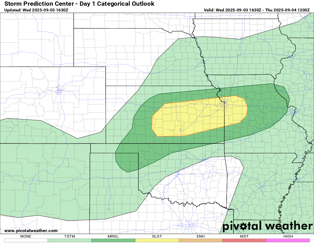
The Storm Prediction Center has outlined a slight risk zone across parts of Kansas and into Missouri. There is also a marginal risk zone stretching into Oklahoma and the Texas Panhandle as well.
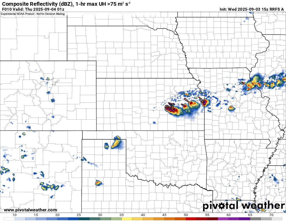
Storms should develop along a sagging boundary in eastern Kansas late this afternoon, with very large hail possible early. The tornado risk today is not high, but any dominant supercells will pose a low tornado risk in the early evening hours. Damaging winds will become more likely over time as storms cluster up a bit before dissipating after sunset.
Further southwest, storms should form on the Southern High Plains and move southeast, with damaging winds the primary threat.
Looking Ahead
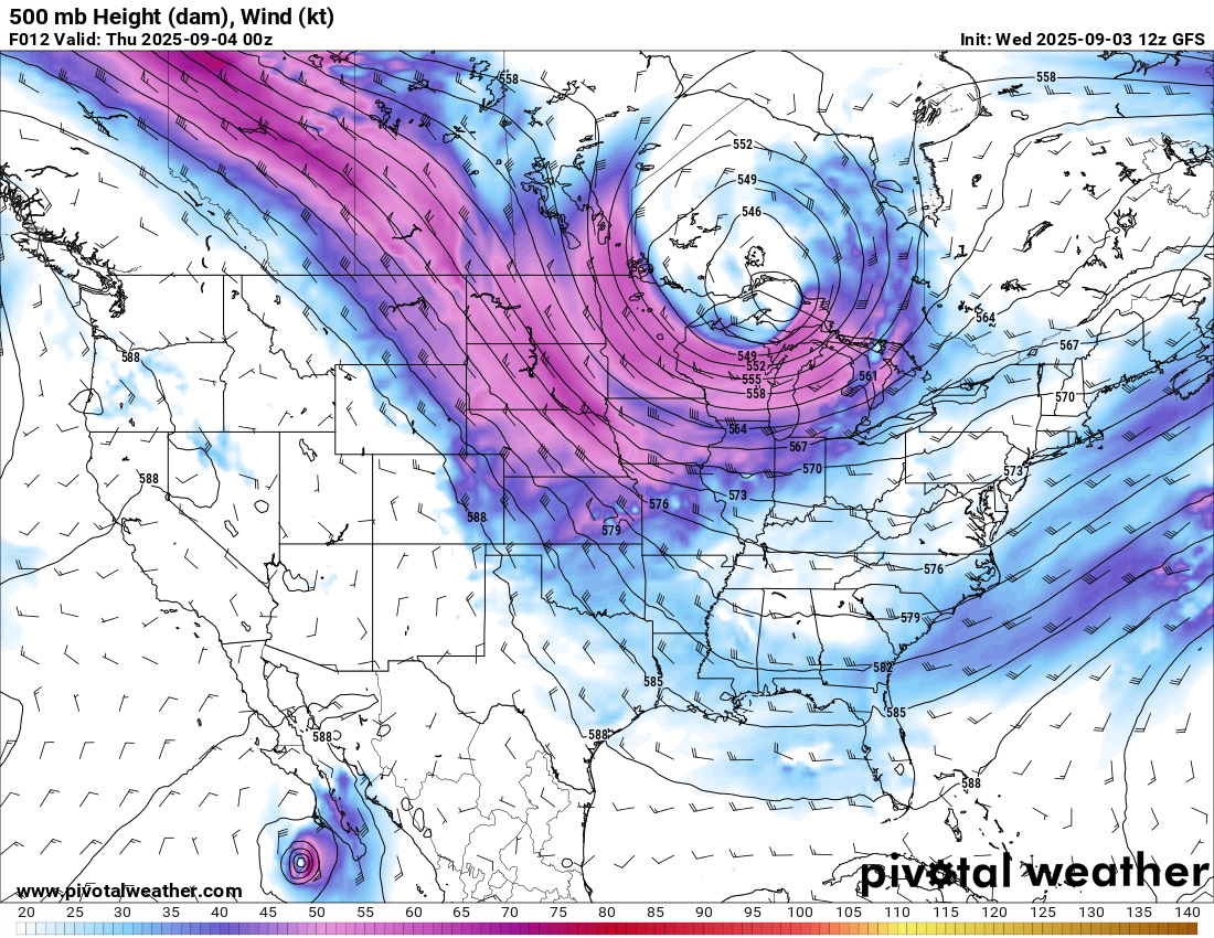
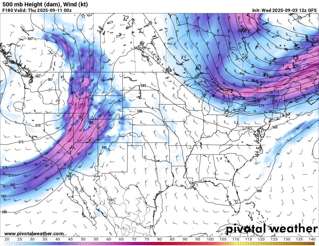
Beyond today, the pattern will move from its current position with deep northwest flow aloft over the central U.S. to a western trough and a ridge sitting over much of the Southern Plains.
As the pattern change takes shape, several things over the next week will remain open questions:
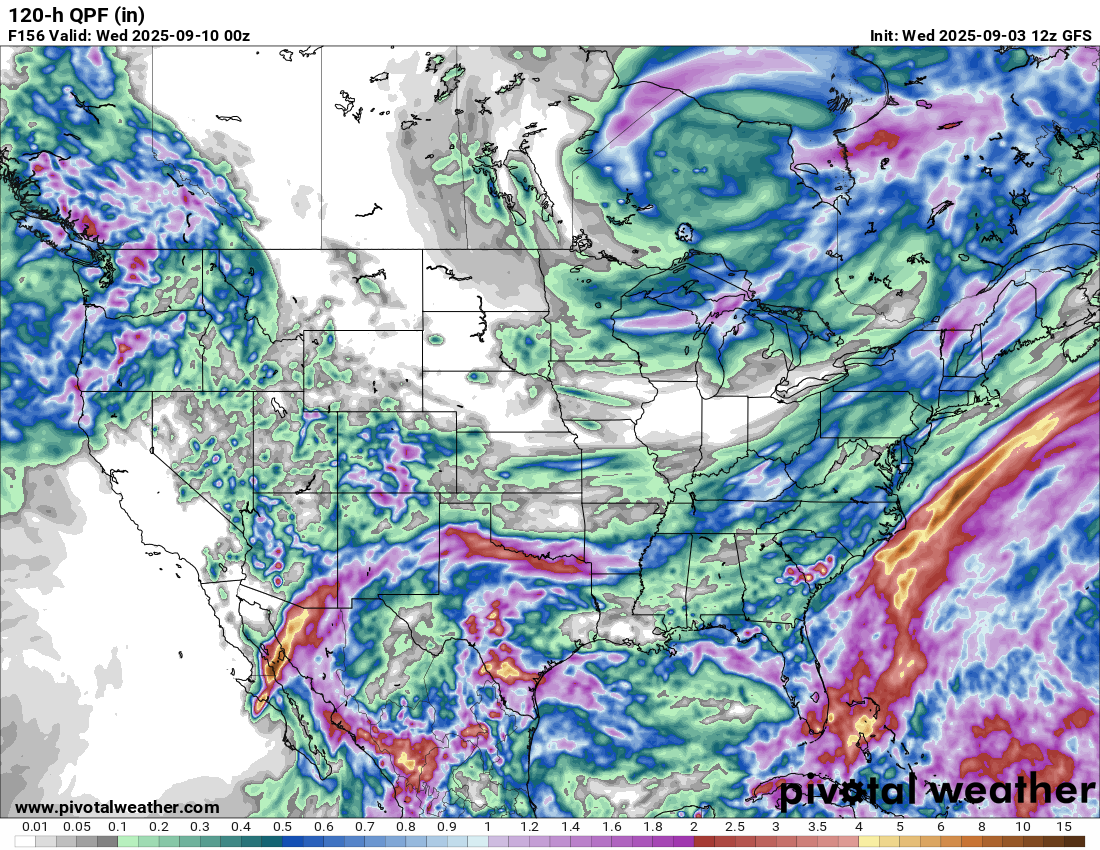
What will Hurricane Lorena do in the Pacific? Current indications are the storm will move north and east into New Mexico/Texas this weekend, bringing widespread rain/storm activity. This usually isn’t an ideal severe weather setup, but it would likely bring flooding rains.
In the wake of that tropical system, what will the moisture be like? As the ridge takes shape, return flow northwards won’t be strong, so the status of moisture in places like New Mexico, Colorado, and Wyoming will be key to getting severe weather setups over the high plains in this June-like pattern.
Most Likely Scenario
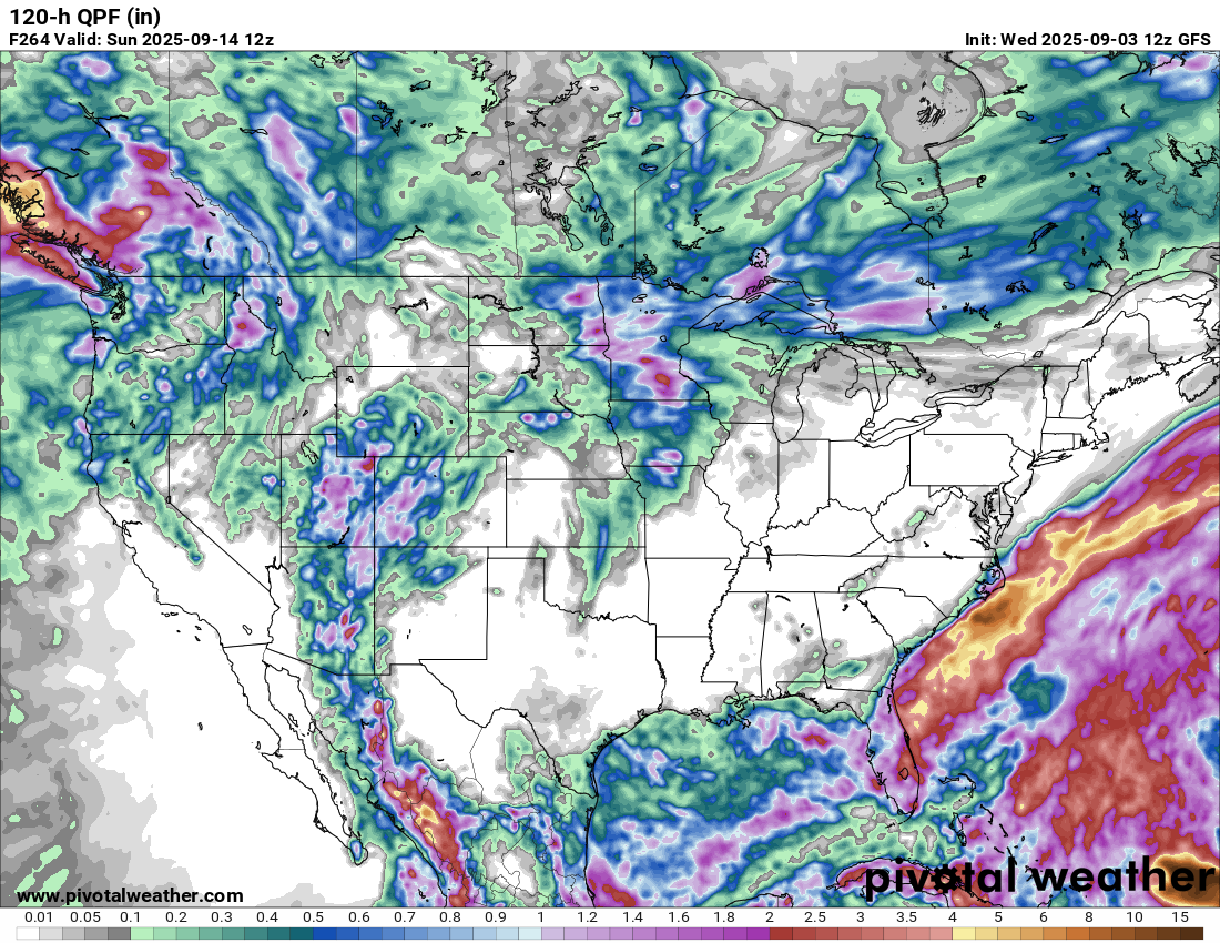
The most likely scenario is that we will see a period of storminess over the Southern/Central Plains, which will give way to a late surge of summer-like weather into the middle part of the month. The likely scenario we’ll see is a stormy pattern giving way to a drier pattern by the middle of September. There will be another transition into cooler temperatures eventually, which will likely be when we are looking at our major fall setups on the Southern Plains — if they exist. That would likely be in early October or so.
See More
Watch our latest members-only video on our YouTube channel for a more fleshed-out forecast: