

More Severe Weather (Low-End) to Deal With
The Fall Season is here and making waves, though it looks a lot like June.

If you missed it, earlier this week featured a heck of a severe weather event in Northwest Oklahoma/SW Kansas and into the Texas Panhandle. We posted an explainer on our various social media profiles about how storms from the morning made the big event in the evening possible:
Now, looking ahead, we’re not quite yet done with severe weather for the Fall, as you might expect, since it is just September 10!
Here’s what we’re watching…
SW Flow Returns to the Plains
By Friday, a trough will begin to move east — shaking the ridge that will bring warm temps to the midweek period a bit to the east.
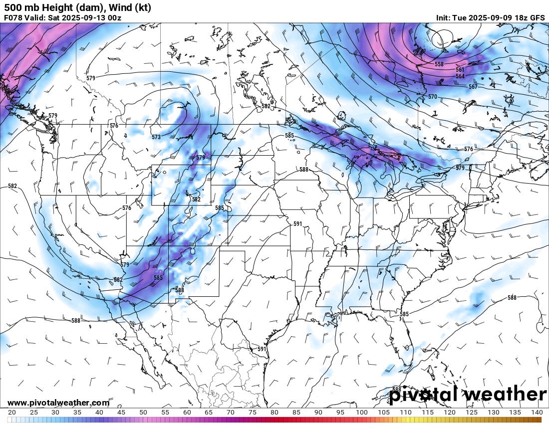
The strong high pressure over the Southern Plains will be hard to move completely out of place, but this trough should at least flatten it some. This will allow for some SW flow aloft to move in for the weekend into early next week.
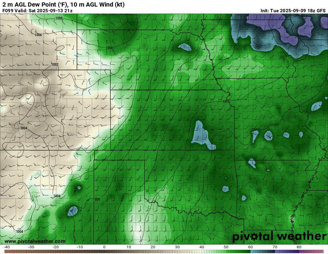
The question mark I see as of right now is moisture quality — unfortunatley I’m not seeing a really strong batch of lee cyclogenesis to get the good juice up north thanks to the ridging aloft. This will mean we are dealing with mostly recycled moisture which typically means dews in the 50s for the Plains.
The Bottom Line?
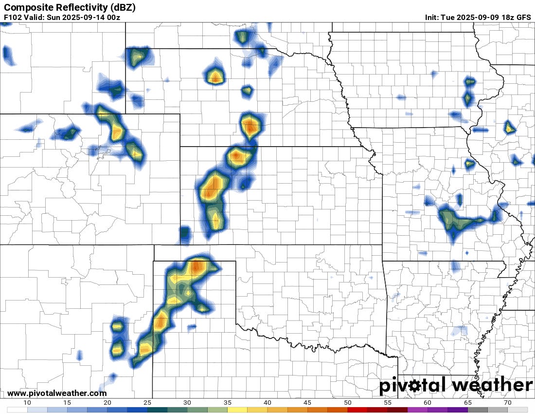
We should see marginal type of severe weather risks at least into this weekend for parts of the Southern and Central Plains. The overall threat looks to be more damaging winds/large hail due to the lack of robust moisture this time around, but I’m watching for the potential of a day or two with supercells with some cool storm structure.
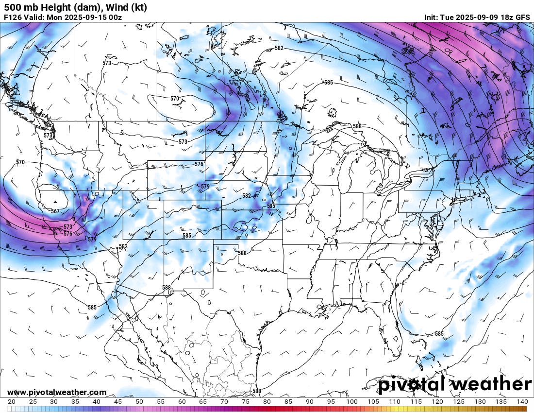
Beyond this coming week, there are signs of a pretty meh pattern through the middle of September but a return to robust troughing and thus, severe weather chances, by late month looks to be in order.
Get This App
Are you an American iOS user? I’ve got a cool app for you to check out…