

Looking At September
Summer isn't going away that fast, but it is going away...

As we wrote earlier this week, the tides are changing seasonally. Here at Titan HQ—West in New Mexico, we likely saw one of our last 90F high temps for the year yesterday.

Over the past few weeks, a huge ridge with a powerful center was parked over the south-central U.S., bringing repeated excessive heat warnings and 110°F+ heat indexes to the Southern Plains.
Now, that pattern is changing slightly, but that pesky ridge isn’t going too far or fast.
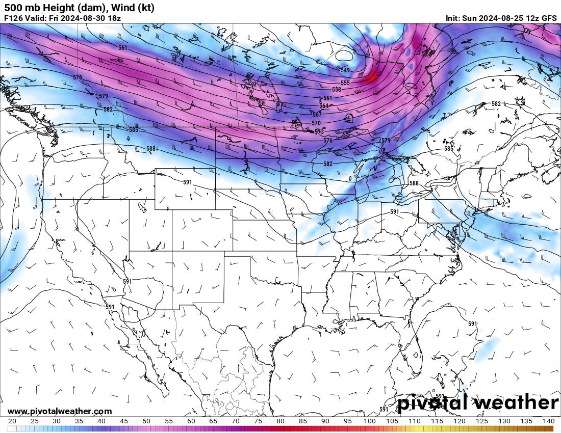
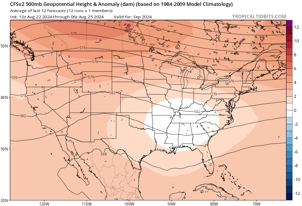
There are some signs that the pattern will start to break down by the end of the month. Both the CFS and Euro flatten out the flow over the CONUS, which likely means some potential for quick-moving troughs. This could be our first shot at fall severe weather, but that’s a while away yet.
The long and short story for September on the Plains for now: warmer but not as hot. Drier to start, perhaps more unsettled late.
This video compilation showcases five memorable storm chasing experiences spanning a decade. It features intense storm chases from late spring storm seasons, primarily in May, with one April chase included. These selected days likely highlight some of the most dramatic and visually stunning storms I've encountered.