

How to Know When Hook Echoes Are Dangerous
We created the perfect video for you!

Before I started storm chasing, I would obsessively watch radar across the country via my dial-up internet in my allotted time on the family computer.
No, I did NOT mean to make myself sound old.
When I would watch storms develop over the country, I’d notice some had these ‘hook’ shaped appendages on their backside, and others would just have appendages. I learned these were called ‘hook echoes’ and they may indicate a storm is gearing up to produce a tornado, but not always.
This video I created is dedicated to my younger self, who would’ve loved to have learned about this in-depth:
Tropical Disturbance Over Louisiana to Bring Heavy Rain
The weather story of the summer is heavy rain/flash flooding that is happening across the continental U.S., and today should be no different, with several inches of rain set to fall across Louisiana. If you follow us on Facebook, you already saw this, so this is a quick plug to do just that!
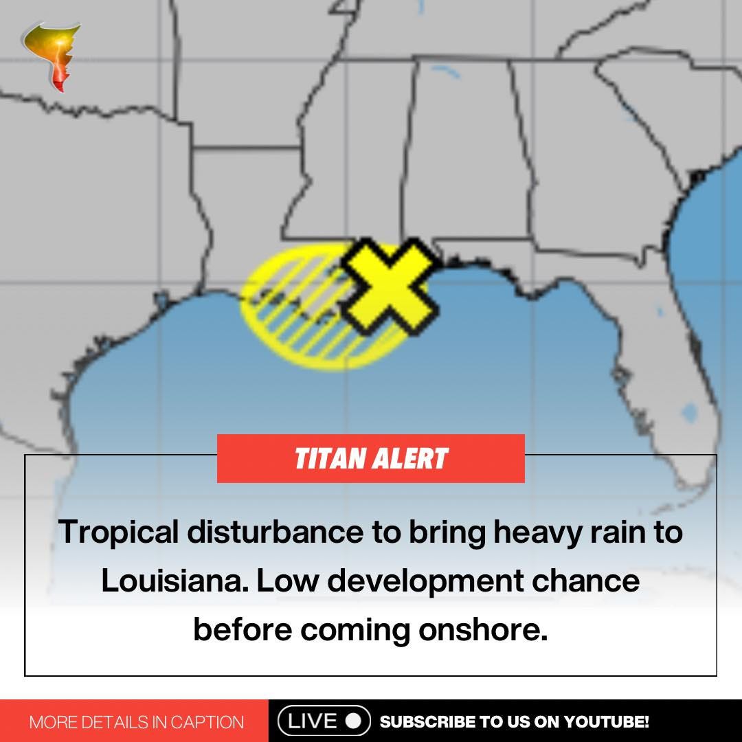
The disturbance has a low chance of developing into something more substantial before it fully goes onshore, which means that we’ll soon have another period with no anticipated storms over the Atlantic basin.
I suspect we won’t see the ‘quiet’ period last much longer, though, Hurricane season’s peak is hurtling towards us.
Stagnant Pattern Alert
Outside of the tropical low in the Gulf, there’s not much to report on weather-wise. The pattern remains incredibly stagnant across the country.
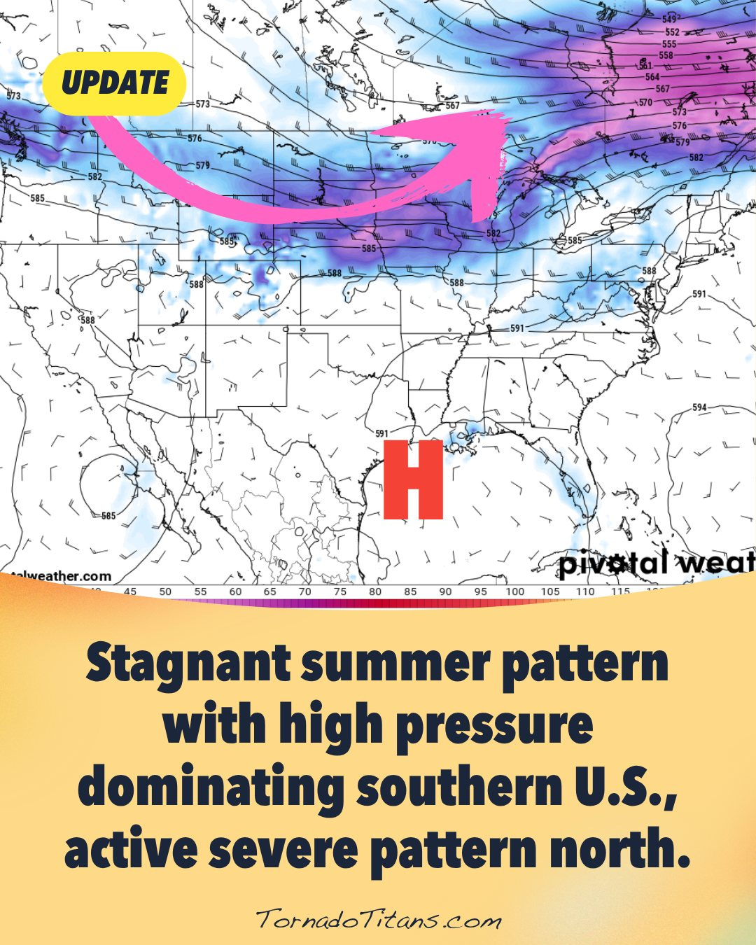
This will lead to continued severe weather chances across the middle/northern parts of the country, with one severe weather risk stretching from Maine all the way to northeast New Mexico. Hail and damaging winds are the primary threats.

Moment of Beauty
A couple of weeks ago, I took a trip to Utah and happened to have some monsoon storms over some beautiful landscapes. The trip wasn’t a storm trip per se, but I made the most of the opportunity, especially on this particularly photogenic evening in Bryce Canyon National Park.

Have a great week!