

Hot with High Plains Storm Threats Continuing
The summer pattern continues, and we're searching for a pool.

Phew, I hope you’ve been staying cool. It’s rough out there. Even when it rains, it feels like the humidity just spikes, and it creates that summer, self-reinforcing cycle of rain → hot → humidity → rain → hot.
I wish I had good news, but right now, I don’t. Here’s what’s coming up.
Pattern Update
Overall, I’m not seeing a lot that says, “big pattern change imminent” — we’re basically stuck in the same type of pattern we’ve been in for what seems like two months. It’s basically the same thing on repeat.
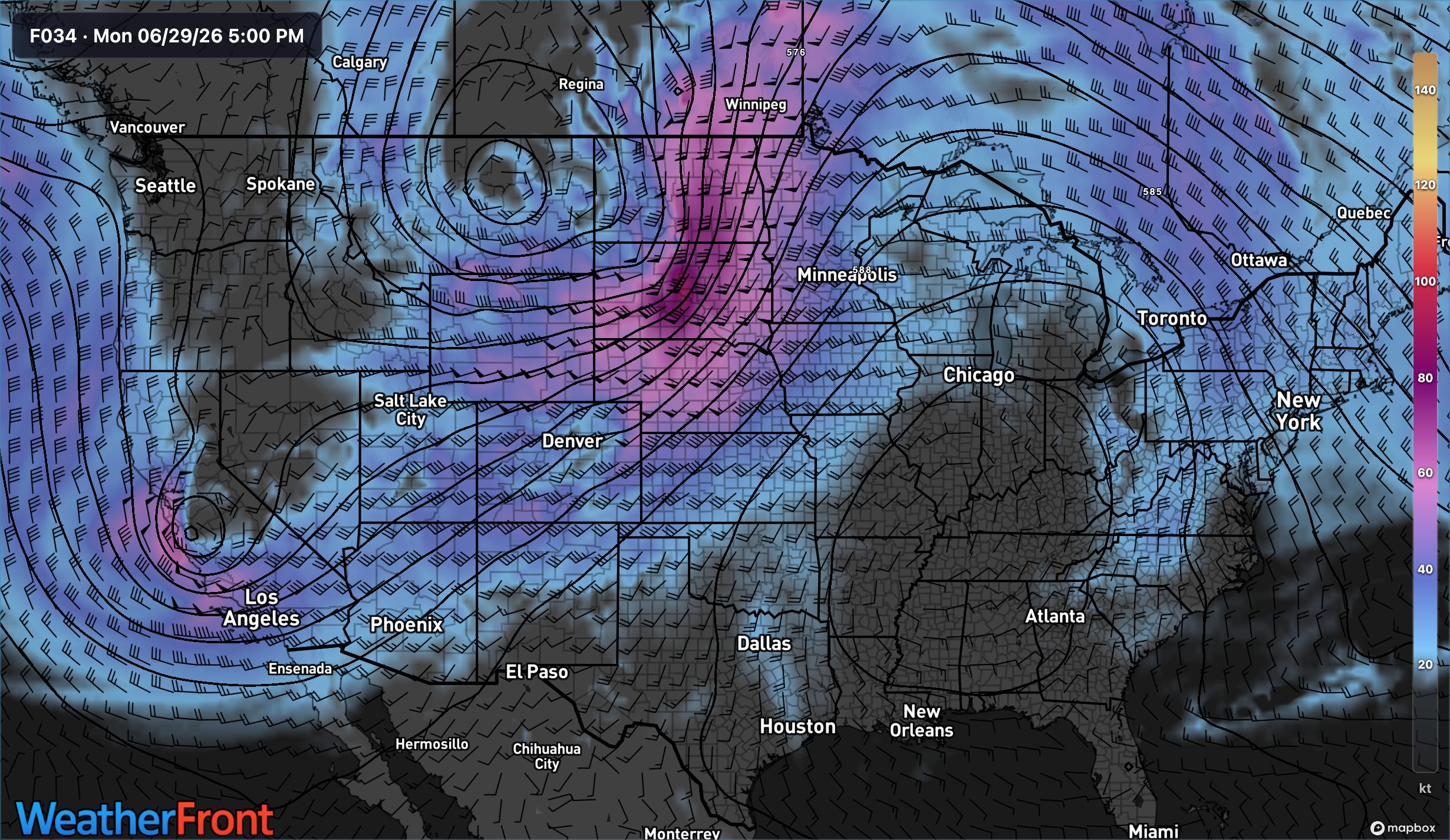
A western trough with a ridge over the SE continues to dominate our weather. However, the western trough is, like it has been much of the Spring after April, skirting well to the north and taking aim over the Central/Northern Plains.
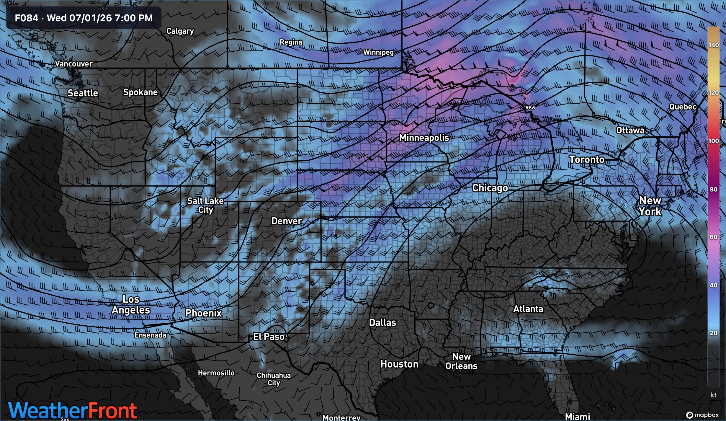
As the week goes on this week, the broad W/SW flow aloft will continue, with storms likely taking shape most days across places like the Texas Panhandle, E/SE Colorado and W Kansas. Shear is favorable enough we’ll likely continue a slow/steady drumbeat of marginal type of risks throughout the next week.
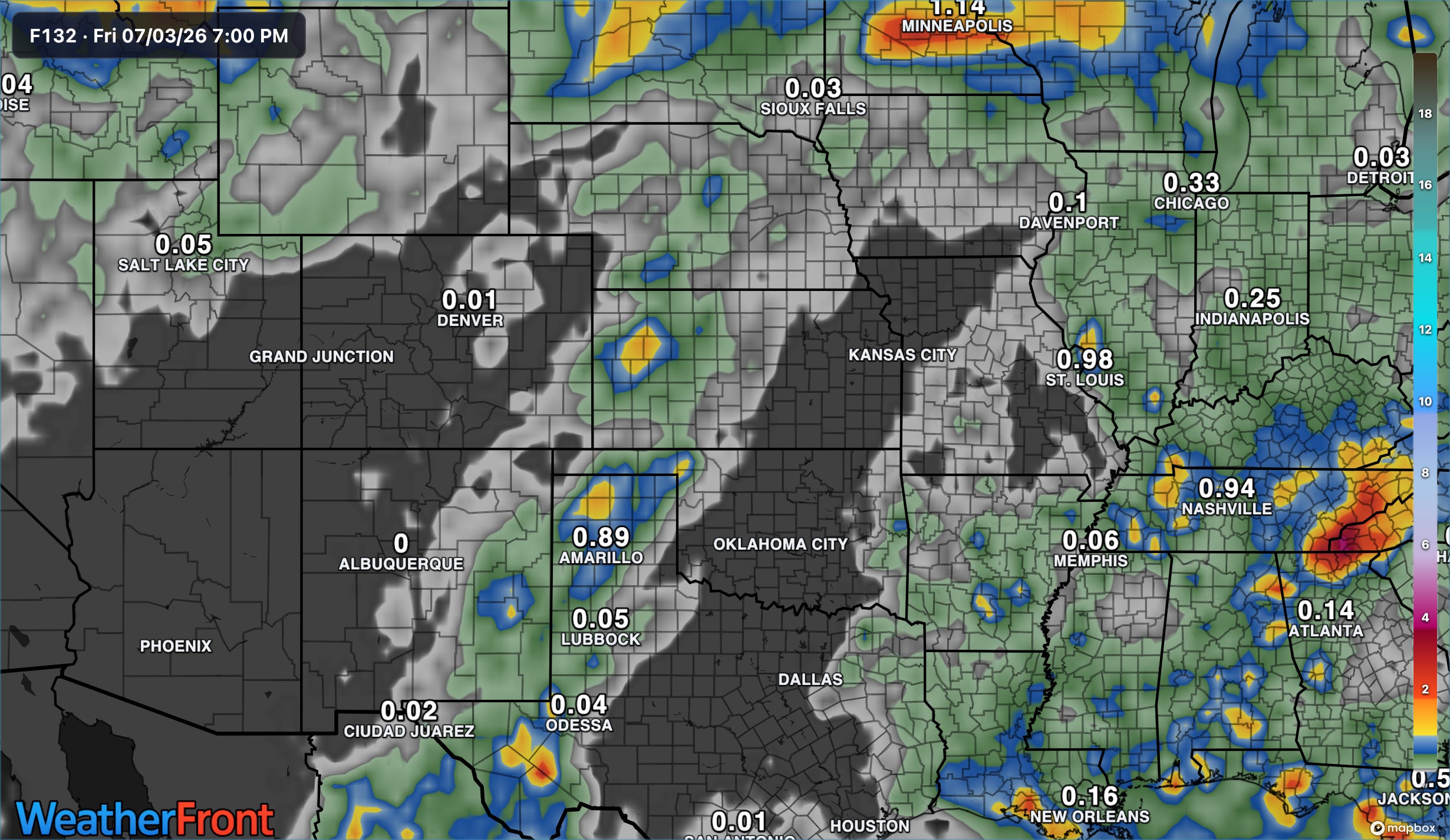
Precipitation-wise, there are two regimes worth knowing about: the first is the aforementioned one over the High Plains with daily storm chances with small wetting footprints but damaging winds/hail being possible.
The other is the typical summertime storm activity over the south, which will do what that pattern does — lots of storms each afternoon with small footprints with localized damaging wind gusts possible.
Neither is “big time”, sorry we don’t do hype around here. But they’re both worthy of your respect. Be sure to stay weather aware out there this week and stay hydrated.
Read Helicity Maps The Right Way
You’ve probably been looking at helicity wrong this whole time. New research has been coming out showing that the traditional maps (0-1km and 0-3km) aren’t the best indicies for assessing things like tornado potential. Find out more in our latest video:
Stay cool out there.