Busy To Start the Week
New Mexico to the Lower Plains Tornado Risks!
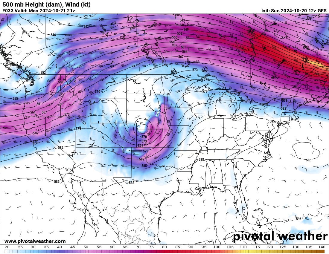
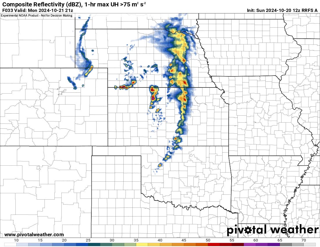
It will be a busy start to the week severe weather-wise, with risks stretching from El Paso, TX, all the way to the Nebraska/Kansas border.
This busy start will give way to a few days of calmer weather. The next weekend is more muddled, but overall, I’m leaning towards a hotter/drier solution.
Start of the Week
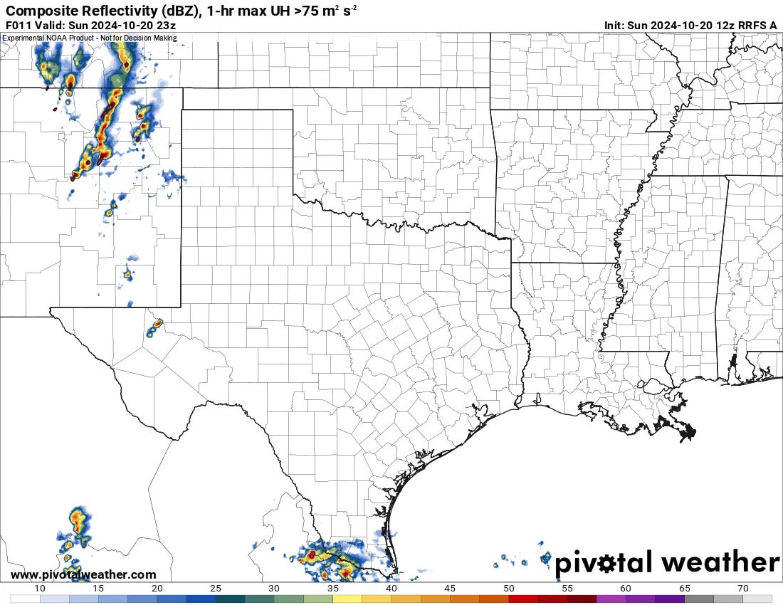
Today, the closed upper low that led to supercells yesterday in New Mexico is finally on the move east. There will be a risk of supercells and tornadoes today across Eastern New Mexico in the afternoon hours.
Midweek
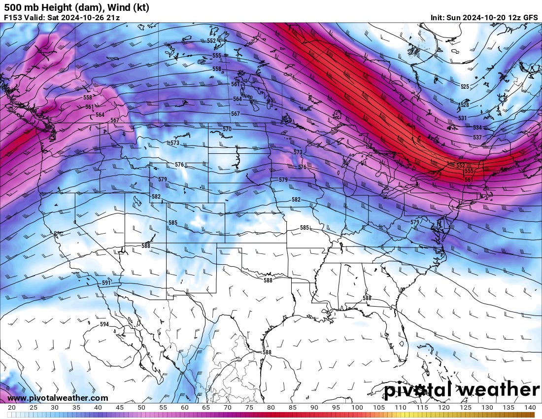
As the low departs, the flow over the United States will become more zonal, typically indicating slightly calmer weather for much of the country. Ridging will also build in from the south.
Late Week/Weekend
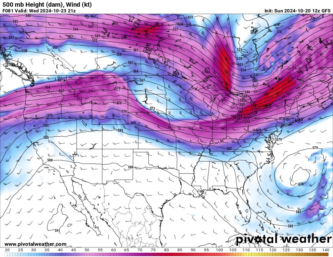
The hot weather (for this time of year) will continue across the Plains/Southwest with NW’ly flow aloft. Ridging over the Gulf will likely limit moisture quality so any small embedded disturbances in this flow will likely not pose much of a severe weather threat.
Watch Us Live Today
We’ll be out storm chasing. Set your notifications to know when we go live by clicking the link below.
https://www.youtube.com/live/h3nHRdGsVO8
Photo of the Week
Newsletter subscriber Anthony Stephens checks in with this view of building storms taken from Midtown Oklahoma City on August 31. There was a brief burst of storm activity from late August to mid-September in the Southern Plains, but it’s been relatively calm since.
Want to have your photo featured in our Sunday Forecast Newsletter? Send us your pic and a description to admin@tornadotitans.com!


