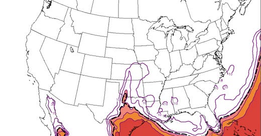
This is a week that fills me with anticipation as a storm chaser but also I’m full of doubt as well. An active jet stream pattern will set the stage with several severe weather risks possible this next week, with the potential for a big day or two there as well.
But it is also possible this week is pretty low-key. It is truly a boom/bust type of week.
Monday – Tuesday
Moisture return will begin in earnest later today, with just enough moisture making it north for the possibility of a couple of storms along a moisture gradient (I’m struggling calling it a dryline) on Monday afternoon. There is weak instability and wind shear, but given the dry low-levels it would not be surprising if some storms could eek out some gusty winds.
For Tuesday, there is already a marginal risk issued by the SPC. However, a strong cap is apparent and the upper levels won’t aid much in getting storms going. A storm or two could break the cap from Kansas down to Texas along a developing dryline — and severe weather would be a good bet if some get going.

Wednesday
Wednesday is the most intriguing day of the week for me. There is moderate wind shear, at least moderate instability, rich low-level moisture, and really good hodograph shapes. Soundings for peak heating show little to no capping in place and some models are beginning to show storm formation.
On the surface, it looks like a traditional big-impact severe weather day. But, the convective initiation signal is still pretty weak.


- Right now I am thinking about Wednesday on two levels. First, can we get storms? I see some indications of neutral to even slightly rising heights during the afternoon, which combined with capping, will make storm development uncertain until possibly up to Wednesday morning.
- If we do get storms on Wednesday, my question then goes to can they thrive? If storms are struggling with a toxic atmosphere with capping and some subsidence, they won’t realize the full potential of the atmosphere that day regardless of the ingredients.
- The bottom line for Wednesday is the potential is there for a higher-impact day. But I want to stress that is only potential, it would be entirely unsurprising (and entirely on brand for the dryline this season) to have it be capped off with no storms.
Thursday/Friday
After Wednesday, models kind of fall apart on what happens after that with key details of the forecast. A cold front will be sweeping through on Thursday and another on Friday. The GFS lifts the first cold front north as a warm front on Friday while the Euro just reinforces it and shoves moisture through the gulf.
Thursday could be a low-key but rewarding storm chase day somewhere DFW and south if the front can stall like the GFS says. Friday would be a similar situation from Southern OK into Texas.
If other models are right (particularly the Euro), severe weather chances will be limited after Wednesday until the following Tuesday or so at the very earliest.
Regardless this upcoming weekend will likely be quiet regardless of the model solution you cling to.
You must be logged in to post a comment.