

Are we about to enter an active pattern?
The turn of the month has an interesting look!

We talked about it in our last newsletter, but we might finally be getting that potential flow + moisture link-up we’ve been waiting for in late May. Right now it appears that we’ll see this come in two phases.
Early Next Week
After the front moving through the Southern Plains today clears out and moisture returns north, we should see at least 2-3 days of severe weather risks develop next Monday to possibly Wednesday from eastern New Mexico into southern Texas.
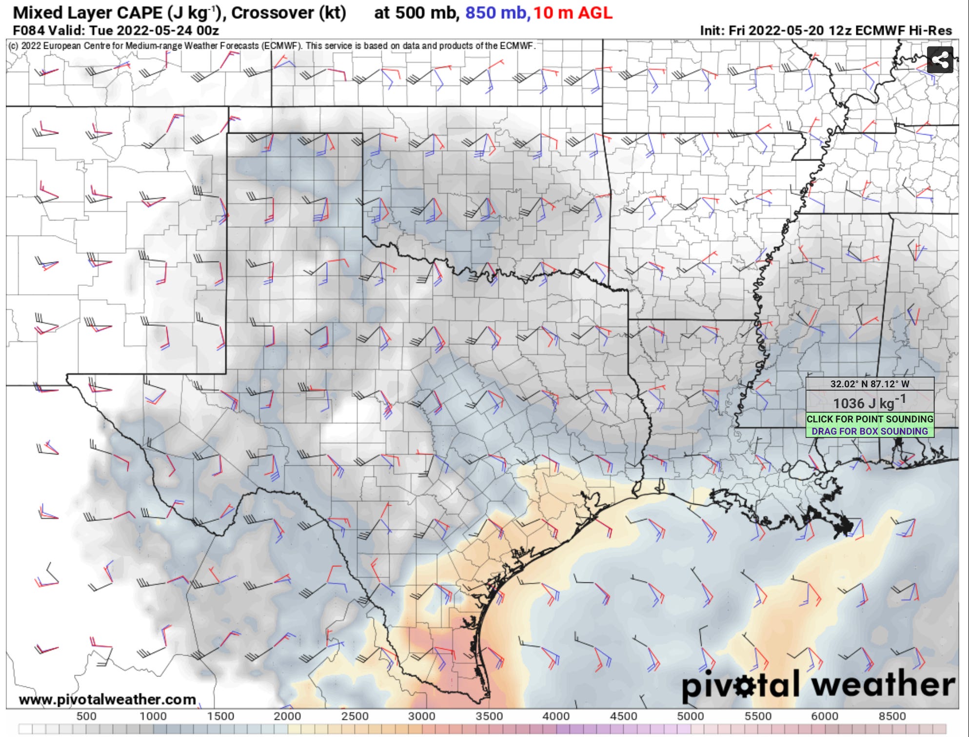
It seems likely that we’ll have a risk of supercells in reasonable chase terrain from Monday to Tuesday at least, and possibly into Wednesday if the front depicted on models is slower to slide south. We’re watching this period closely for a threat of big hail and a few tornadoes next week if things can materialize.
Next Weekend Into June
Global models pull moisture north by next Friday over the Plains as the upper level flow turns from WNW to WSW. The question is the same as it was 10 days ago, will we see the best flow over the top of the best moisture at that point?
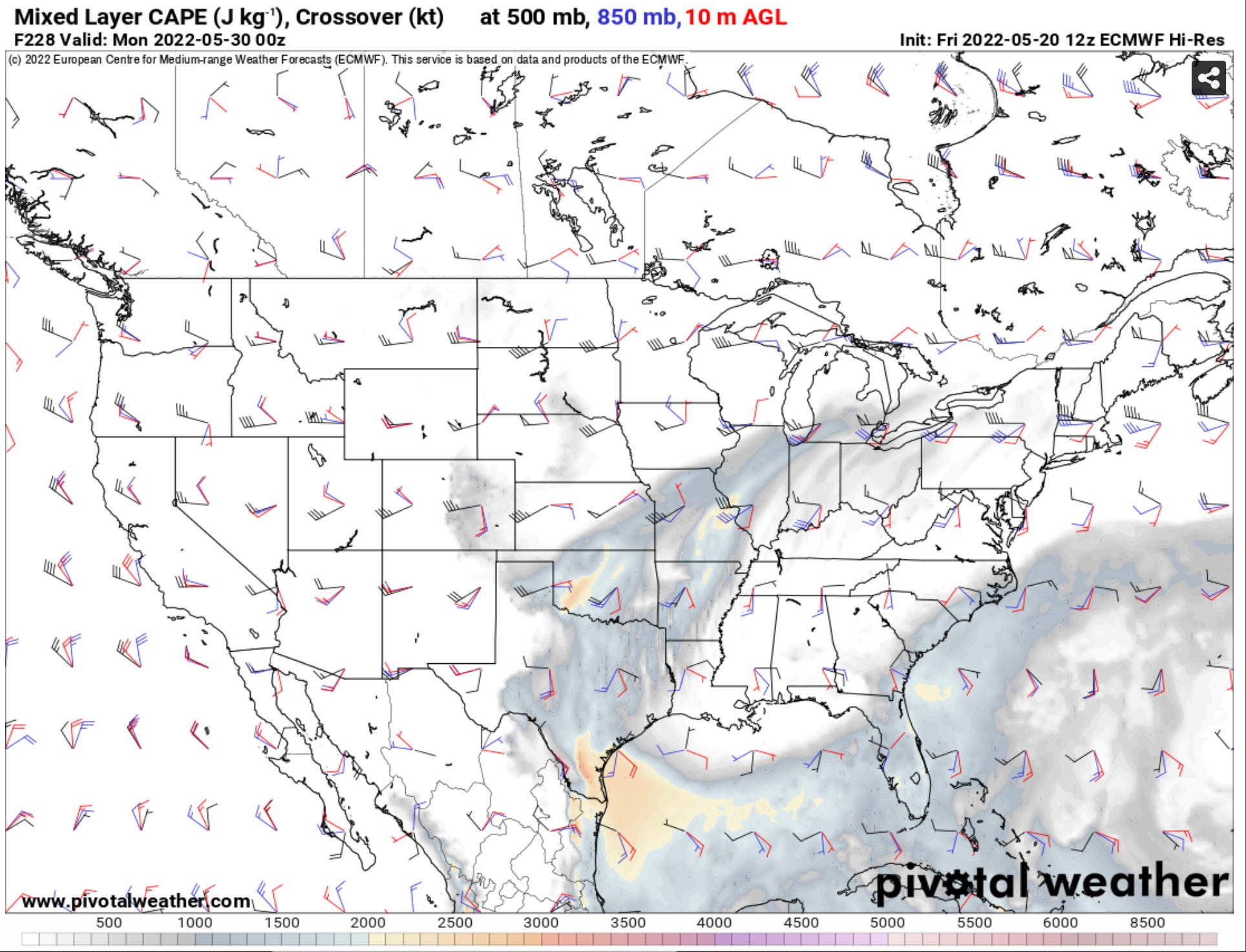
The overall trend in models have been that there are increasing signs we are set to see some severe weather environments set up over the Plains as we approach the turn of the month into the first week of June. The Euro isn’t as amplified with the pattern overall versus other models, and it did end up right with the current pattern. This would tend to result in a more limited overall threat (but still higher than this current system). Still, if the American model ends up slightly more right, I can see some of the highest quality storm chasing of the season coming up.
It’s not just you
The season on the Plains has (so far) been incredibly quiet and slow. There was a very notable event on April 29 in Southern Kansas and again on May 4 in Texas and Oklahoma — but overall the setups have been pretty few and far between with a lot of moisture starved systems moving over the Plains.
It would not be surprising if we have another active week on the Central/Southern Plains before the pattern fully moves far to the north coming up here — and we’ll be out and about if so.
We’ll see you on our social media networks in the meantime, like and follow us to stay up to date!